NC500 3D map
Mark your North Coast 500 road trip with a 3D-printed map of the route, the 516-mile loop from Inverness over the Bealach na Bà to Applecross and along the north coast to John o' Groats. The Scenic surrounds the map with eight of your photos, from £95. The TopoRoute prints the whole loop on a 3D topographical map with the hills raised in relief, from £100.
Create your NC500 mapThe Scenic
Eight of your photos from the trip, printed polaroid style, around a 3D-printed map of the loop, with the dates and the distance below.
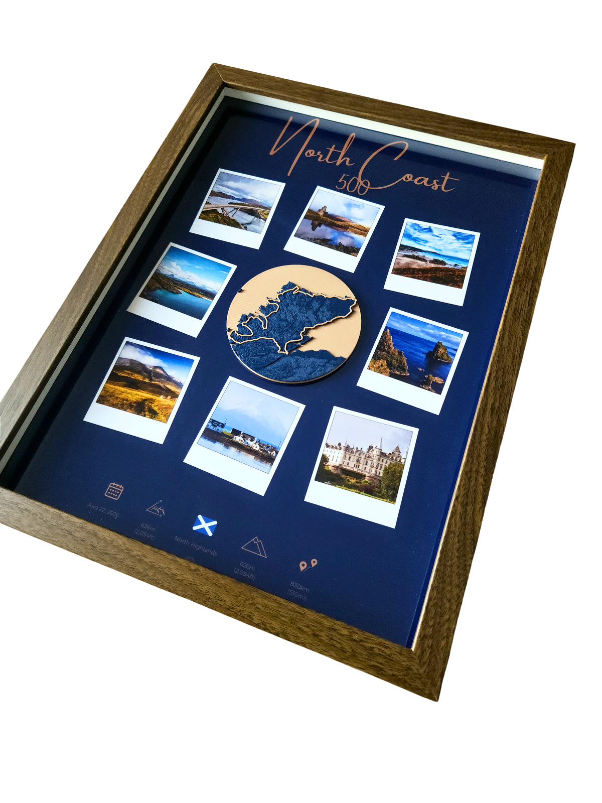
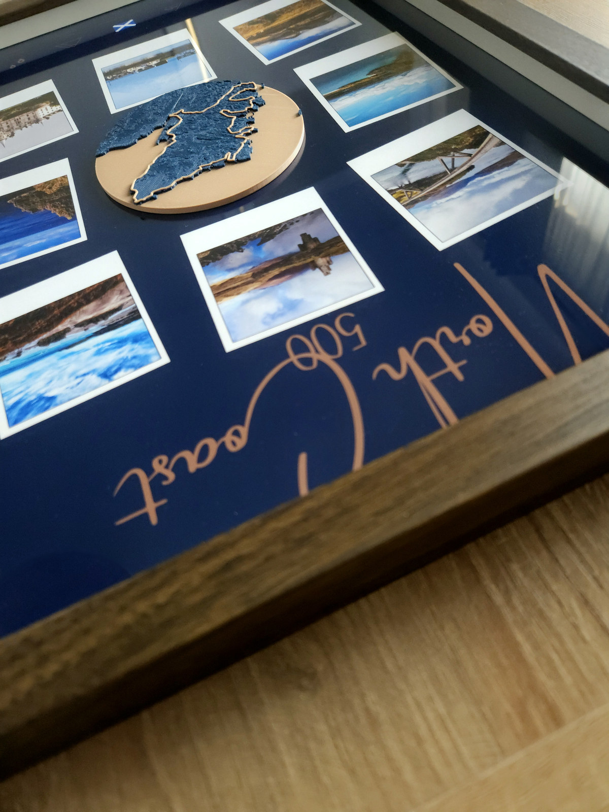
The TopoRoute
The whole loop on a 3D-printed topographical map, with the mountains and sea lochs raised in relief. The two larger frames list your stops along the way.
How do I send you my route?
Upload the GPX file from your watch or app, or paste a route link (Strava, Garmin Connect, Komoot, AllTrails, etc.) on the order form. If you did not record the route, give us the event name and date, or describe the route in the notes, and we will map it for you.
Can I choose the colours?
Yes. Describe the colours you would like in the colours box on the order form, and choose oak, black, white or walnut for the frame. For another colour, choose Other and tell us the colour in the Notes box. We will try to source it.
How long does it take?
Every piece is made to order in 3–8 working days and posted tracked and insured. If you would like to see it first, tick the proof box. We will send you a picture within 48 hours and only start once you approve it.
Read next
- The Scenic guide
- The TopoRoute guide
- West Highland Way 3D map
- Personalised gifts for runners and walkers
- Race Across Scotland 3D map
Track outline © OpenStreetMap contributors.
TopoRoute is independent and not affiliated with or endorsed by the organisations behind the route.